AI-Assisted Observation
Neural networks process InSAR, thermal imaging, and infrasound arrays to detect micro-tremors and gas emissions weeks before surface deformation becomes visible to conventional monitoring.
Advancing artificial intelligence for geological prediction, hazard mitigation, and planetary resilience.
Enter the Research CenterOur institute fuses deep-learning architectures with multi-spectral geophysical sensors to model volcanic behavior, optimize geothermal extraction, and deploy autonomous emergency-response frameworks.
Neural networks process InSAR, thermal imaging, and infrasound arrays to detect micro-tremors and gas emissions weeks before surface deformation becomes visible to conventional monitoring.
Physics-informed neural networks simulate pyroclastic flow paths, lahars, and ash dispersion in real time, feeding directly into civil defense routing algorithms and evacuation timing models.
Reinforcement learning agents manage reservoir pressure and well-head output, maximizing sustainable energy yield while preventing induced seismicity through predictive stress-field analysis.
Machine learning models for eruption forecasting, lava-flow prediction, and volcanic gas analysis using satellite and ground-based sensor fusion.
Computational geothermometry, reservoir engineering, and AI-driven plant optimization for baseload renewable energy in volcanic terrains.
Deep-learning seismology, noise reduction in weak-motion detection, and tectonic stress inversion using dense array networks.
Intelligent emergency-response systems: autonomous drone swarms for disaster mapping, predictive evacuation modeling, and resilient communication mesh networks.

Deploying drone-mounted thermal arrays to map subsurface lava channels and predict breakout points up to 6 hours in advance for civil defense.

An adaptive well-management agent that balances electricity demand with reinjection rates to prevent thermal decline and micro-seismic events.
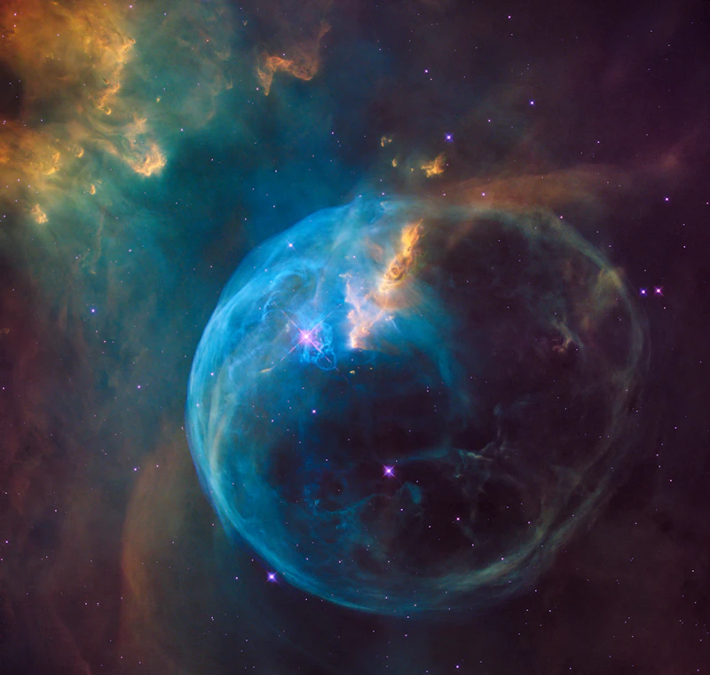
Processing 30 years of broadband seismometer data through attention-based networks to resolve 3-D melt distribution and rupture probability.

Combining TROPOMI satellite overpasses with ground sensor meshes to forecast volcanic air pollution down to neighborhood granularity.

Surrogate neural operators replace traditional hydrodynamic solvers, delivering high-resolution inundation maps within 90 seconds of earthquake detection.

An autonomous fleet of hardened UAVs that self-organize to map damage, establish comm relays, and identify thermal signatures of survivors in zero-visibility ash environments.
Enrollment is limited to ensure deep mentorship and direct field access. Beginners with strong quantitative foundations are encouraged to apply.
65 N Kukui St
Honolulu, HI 96817
USA